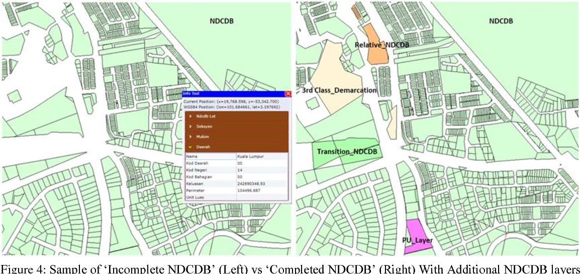
CADASTRAL SURVEYING 1 provides students with the knowledge on title survey, land development process and exposure to conduct cadastral works according to the latest regulations. It also emphasizes on problem solving and techniques of collecting data manually and Field To Finish (F2F) concept until the production of Certified Plan (CP).
- Teacher: MUSTAQIIMAH BINTI MUHAMAD MUHAMAD
- Enrolled students: 27
- Teacher: AZMAN BIN MAZLAM MAZLAM
- Enrolled students: There are no students enrolled in this course.
- Teacher: KHALILAH BINTI MUHAMAD mylila
- Enrolled students: 12
- Teacher: NURUL AMIRA BINTI DIN (CMRA)
- Enrolled students: 26
- Teacher: NORHAYATI BINTI AHMAD (CYBA)
- Enrolled students: 32
REMOTE SENSING equips students with the knowledge of imagery concept. This course explains the concept of data capture from electromagnetic energy recorded, by sensors brought by airplane or satellite. This course also develops student’s skills in using software for digital image processing, digital image enhancement and image classification.
- Teacher: AZILAWATI BINTI HARUN .
- Teacher: ZURAINI BINTI BASARUDIN BASARUDIN
- Enrolled students: 28
- Teacher: NURUL AZUWA BINTI MD MUHAYADIN (PN AZUWA)
- Enrolled students: There are no students enrolled in this course.
- Teacher: HAZHAR BIN HAMID HAMID
- Enrolled students: 30


